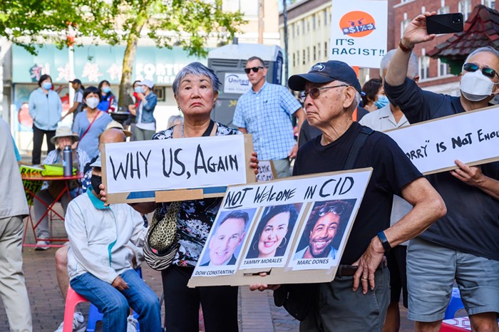
Check out this map. It was designed by the city's Department of Planning and Development to show where pot stores can legally open after the state issues retail licenses in December. Those itty-bitty little yellow areas are those places—and if it seems like they are few and far between, you don't know the half of it.
Most of those yellow zones are off-limits too—unless you can convince the Port of Seattle to let you open a store on top of a shipping crane or persuade Carnival Cruises to give up its waterfront slip. Then there's that yellow stretch along Aurora Avenue North, which is mostly a golf course.
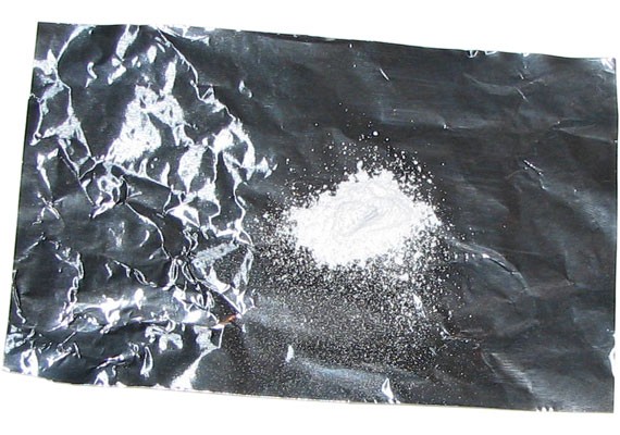
Understanding why there are so few yellow patches—Seattle's future pot districts—requires a little bit of background. Initiative 502 legalized marijuana possession and required the state to issue licenses to growers, processors, and retailers. But as written, I-502 bans marijuana retail storefronts within 1,000 feet of certain properties, including parks, schools, arcades, libraries, community centers, and even public-transit centers. This is to avoid conflict with federal law (which has already cracked down on medical marijuana within these zones). The city also bans pot stores in residential neighborhoods. So this map is the result of overlaying the state's and city's restrictions.
The blue areas are places where medical marijuana businesses can open; the yellow ones are for recreational pot stores.
Making it even more restrictive, the Seattle City Council is now pondering a measure to ban pot stores in six portions of downtown, in seven historic districts in neighborhoods, and even in many areas zoned for retail. Looking at this map, the council's proposal would eliminate "four additional blocks in Ballard and about two additional blocks next to the Stadium zone," according to council president Sally Clark.
What does that leave?
The largest swath of land is the industrial flat between the stadiums and Georgetown. The problem here is that these areas are packed with warehouses, not storefronts, but you can reasonably expect retailers who have few alternatives to pay top dollar to rent space in these industrial areas, thereby pushing out industrial tenants. Other areas include: (1) a few blocks along Aurora Avenue North, (2) three short stretches of Lake City Way, (3) a couple blocks of Northwest 85th Street in Greenwood, (4) a patch of Rainier Avenue South, and (5) a light-industrial no-man's-land between South Lake Union and Seattle Center. Then there's the one district that is both close to the city and conducive to retail: (6) the intersection of 23rd Avenue and East Union Street, which is the closest to Capitol Hill, could end up being the prime pot district in town.
Needless to say, this is highly impractical.
The densest parts of the city are the locations where most people would actually want to buy marijuana, but these are the same places where marijuana stores will be prohibited. Considering that the goal of I-502 was to undercut the black market with accessible legal pot, it's unfortunate that black-market pot dealers could remain way more accessible than the new legal stores.
However, there aren't any other great options. Representative Christopher Hurst (D-Enumclaw) has proposed a bill that would adjust these boundaries and raise application fees for new pot businesses. Neither of his ideas are workable: Raising the cost of licenses would push small producers out of the market, and shrinking the 1,000-foot buffer zone around schools and parks—sensible as that may sound—would invite the federal government to file a legal challenge against our pot laws. Which, obviously, is something we want to avoid. For now, at least, these are the pot districts we have in Seattle. The challenge will be making sure the city council doesn't restrict them further. ![]()