
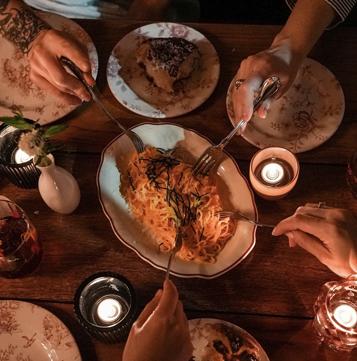
It's pronounced Spanish-pirate-style: ARRR-ah-goan-ah.
Comments
Please wait...
Comments are closed.
Commenting on this item is available only to members of the site. You can sign in here or create an account here.
More In Food & Drink

Editors' Picks


Popular Articles
is a proud member of the
 media network
All contents © Index Newspapers LLC
800 Maynard Ave S, Suite 200, Seattle, WA 98134
800 Maynard Ave S, Suite 200, Seattle, WA 98134
See this pink box? That's Lower Queen Anne. It has demarcated boundaries, set by the city, for statistical purposes and for directional clarity.
It is also more than a mile from Nickerson, with a massive fucking hill between the two places that must be scaled or circumnavigated to get from one to the other.
Nickerson and the hill's northern slope have no formal designation, but the most common colloquial ones are "the back of Queen Anne" or "near SPU".
I have lived in the area around Nickerson. It is not Lower Queen Anne.
The city defines Lower Queen Anne as the plateau between Denny and the south slope of Queen Anne Hill.
The census-takers define Lower Queen Anne as the plateau between Denny and the south slope of Queen Anne Hill.
All cartographers, at all points in history, have defined Lower Queen Anne as the plateau between Denny and the south slope of Queen Anne Hill.
You're the idiot. Believing deeply in your incorrectness does not alter fact.