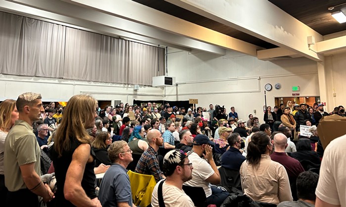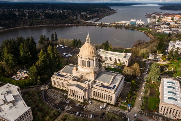
So my post on Monday about commutes, gentrification, displacement, suburbanites, urbanites, actionable demands, and the importance of building out our rapid transit system and massively subsidizing fares—because it will allow us to tell entitled suburbanites to STFU about their commutes and it will actually do something to help people who've been displaced (quickly implementing BRT along coming light rail lines and cutting fares right now would, unlike this nonsense, actually help the displaced right now)—was illustrated on the homepage and on Twitter with the above image, an image that didn't appear in the piece and wasn't explained anywhere.
I'll explain it now.
The image above was originally in the post but I deleted because, you know, that post was long enough without having to unpack what's going on with these maps.
But here goes:
That's a map of Seattle, of course, superimposed over maps of Chicago and Los Angeles; the maps of Chicago and LA are to different scales, so the Seattle map is too.
Seattle is a much smaller city than either Chicago or LA, obviously, and that's something we should bear in mind when we talk about displacement and people being forced out of Seattle. In a bigger city, in a city like Chicago or Los Angeles, people are less likely to be forced out by gentrification and likelier to move from one neighborhood within the city to another. And moving from one neighborhood that's well-served by rapid transit to another in-city neighborhood well-served by the same rapid transit system? Well, that makes displacement less disruptive than being forced to move to some shitty suburb that didn't connect to a regional transit system because everyone in that shitty suburb had a car and the people who lived (and voted) in that shitty suburb—back when everyone wanted to live in a shitty suburb—didn't want people who lived in the city to be able to get to their pristine, lily-white suburbs.
"I don't know if that ugly wall of suburbia's been put there to stop them getting in, or us getting out," Bernadette wondered in Priscilla, Queen of the Desert. It was the latter, Bernadette. Definitely the latter. (Here's a little trip down repressed memory lane—and I'm pretty sure my memory is serving me correctly here—but back when we were debating building a city-wide monorail system, opponents cited "social intrusion" as a reasons to vote against the monorail. In the voter's guide. A rapid transit system that linked all of Seattle's neighborhoods, from the north end of the city to the south end of the city, was bad. Because "social intrusion." Anyone wanna guess what "social intrusion" was code for? Anyone?)
Chicago is well-served by transit, and Los Angeles is increasingly well-served by transit. (I've spent a lot of time in LA over the last few years, and I can get pretty much everywhere I need to go by bike and subway/rail there.) Chicago's "LGBT stronghold neighborhood," to borrow commenter OliverJesse's term, has moved but it hasn't been obliterated by the gentrification process (young & broke queers move in, take/remake a neighborhood, property values rise, new waves of young queers can't afford to move to that neighborhood, they find a new one, rinse, blather, repeat). Chicago's LGBT neighborhood has moved—the queer neighborhood has gradually moved north along Chicago's Red Line over the years, because young & broke queers who can't afford cars? They rely on transit. (If Seattle's queer neighborhood had moved as far as Chicago's has over the last 30 years, it would be Tukwilla.)
Anyway, the map above originally appeared in the piece because I thought it helped make my point about the importance of building a regional transit system, one that runs out into the suburbs that people being displaced by gentrification—once again: that "once in a lifetime tectonic shift in consumer preferences." If the borders of our city weren't so much smaller, a lot fewer people would be forced out of Seattle. They'd might be moving within Seattle, but they'd still be in the city. Since our borders are smaller, and people are being forced into the 'burbs, we need to treat those 'burbs like the outer neighborhoods they would be in Chicago or LA and ram rapid transit lines right through 'em.
And, hey, maybe Seattle could start annexing nearby/characterless suburbs the way Chicago annexed Rogers Park, the neighborhood where I grew up. Rogers Park was incorporated as a village in 1878, annexed by the city of Chicago in 1893, and connected to the rest of the city by rapid transit when the Red Line (then the Howard) opened in 1900. It's as far north as you can go without leaving the city but it feels connected to the city—it feels like a vital part of the city—thanks to rapid transit.
